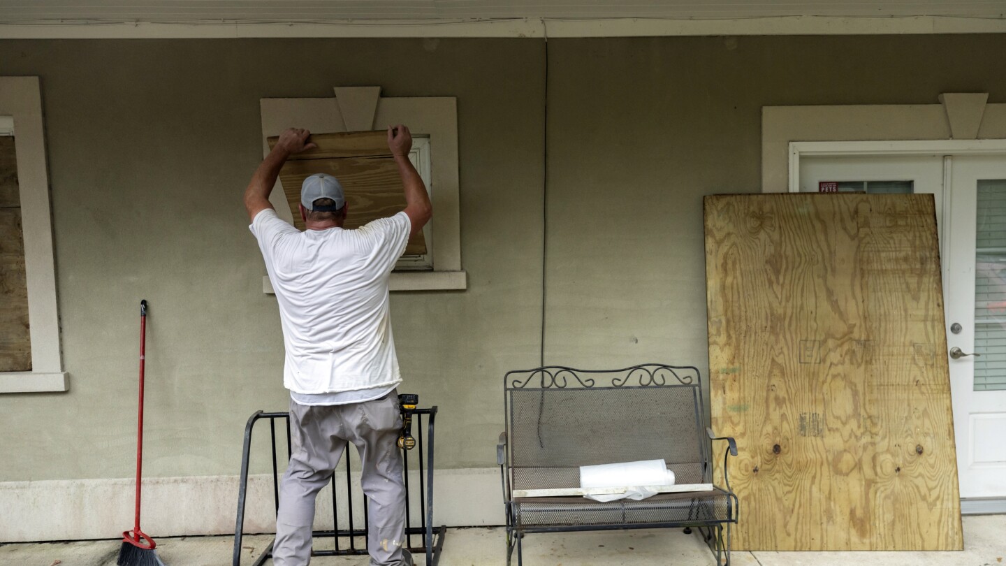
Hurricane Idalia strengthened to a dangerous Category 4 storm Wednesday morning as it steamed toward Florida’s Big Bend region and threatened to unleash life-threatening storm surges and rainfall.
Florida residents living in vulnerable coastal areas were ordered to pack up and leave as Hurricane Idalia gained strength in the warm waters of the Gulf of Mexico, and authorities warned of a “catastrophic storm surge and destructive winds” when the storm moves ashore later Wednesday morning.
Idalia was projected to come ashore as a Category 4 storm with sustained winds of at least 130 mph (209 kph) in the lightly populated Big Bend region, where the Florida Panhandle curves into the peninsula. The result could be a big blow to a state still dealing with lingering damage from last year’s Hurricane Ian. It had grown into a Category 2 system on Tuesday afternoon and became a Category 3 just hours earlier Wednesday.


It never hit cat 4. It was a lower cat 3. It was traveling quite fast and didn’t have a chance to do any eye wall replacements before landfall. So it actually weakened a bit (the first part of the replacement cycle) when it hit landfall.
Keaton, Perry and Valdosta are probably gonna get fucked up. Unfortunately Perry is quite rural. Theres not a lot of money there, lots of folks in trailers and substandard housing and thus, its more dangerous.
But this wasn’t a “Michael” event. It does seem the NHS took a different tact this year on their predictions and warnings. Not of the major intensity models had it hitting a 4 (hwrf, hmon, etc). But they were saying it anyway. Had some folks panicking quite a bit in my area.
They were right in that a major hadn’t hit Appalachee bay, but that’s because Mexico beach and cape san blas are like, 10 minutes west of that demarcation point.